| Feature category: |
4. Waters |
Feature type:
(with ordinal number) |
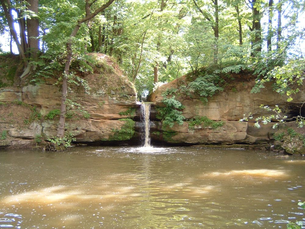
4.06 WATERFALL (VODOPÁD) |
| Feature type code: |
bh180, BH180P |
Feature definition:
A vertical or steep step (rock wall) in a river bed, through which a watercourse overflows.
|
| Geometric determination of the feature: |
line or point |
| Positional accuracy: |
mp = 2,0 m |
| Geometric data source: |
aerial survey photos, orthophoto, LLS, field recognition |
| Descriptive data source: |
field recognition, Geonames |
| Attribute name |
Data type |
Attribute subject |
Attribute values |
Code list |
| NAZEVTOKU |
VARCHAR2(60) |
name of the watercourse |
|
|
| JMENO |
VARCHAR2(100) |
name transferred from Geonames |
|
|
| FID_ZBG |
VARCHAR2(40) |
unique feature identifier in ZABAGED® |
|
|
| S i z e r e s t r i c t i o n s : |
width < 4 m, graphic representation is a point
width ≥ 4 m, graphic representation is a line
|
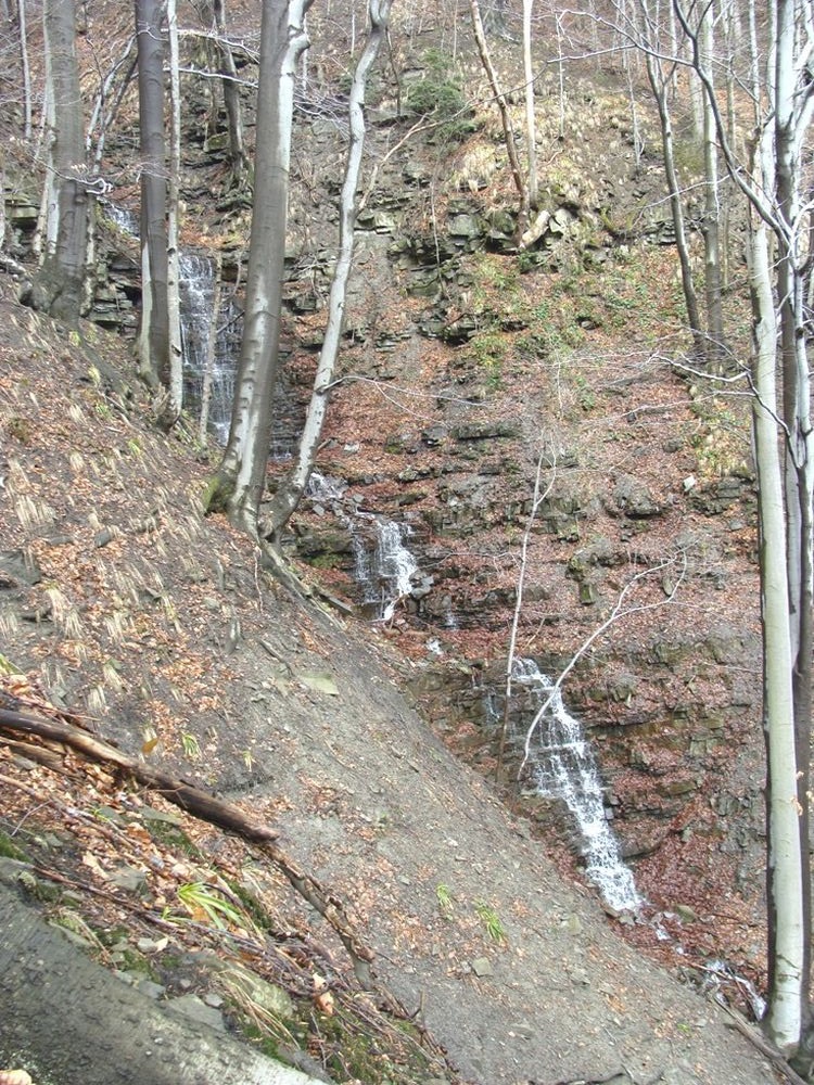 Feature illustration; photo: ZÚ archives
 Feature illustration; photo: ZÚ archives
|
| F e a t u r e h i s t o r y : |
2016-04-01: JMENO - attribute data type changed (VARCHAR2(80) -> VARCHAR2(100))
|
Extended web version updated to: 01.07.2026
Contact: Content Guarantor: Petr Neckář (e-mail: Petr.Neckar@cuzk.gov.cz; tel: +420 284 041 667)
Content Filling: Marek.Popp@cuzk.gov.cz |
Technical Solution: Antonin.Baco@cuzk.gov.cz, Petr.Cerveny@cuzk.gov.cz