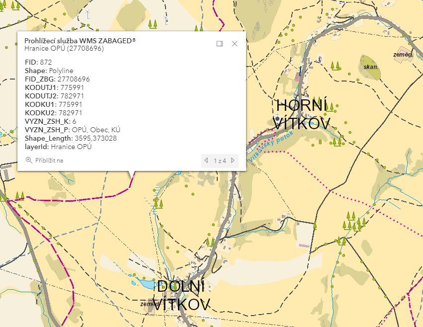
ZABAGED® cartographic representation in the ČÚZK Geoportal – OPÚ administrative boundary is represented by violet line (type of line fits to type of administrative boundary); state to 9/2020
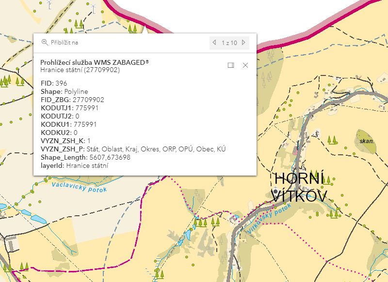
ZABAGED® cartographic representation in the ČÚZK Geoportal – state boundary is represented by violet line (type of line fits to type of administrative boundary); state to 9/2020
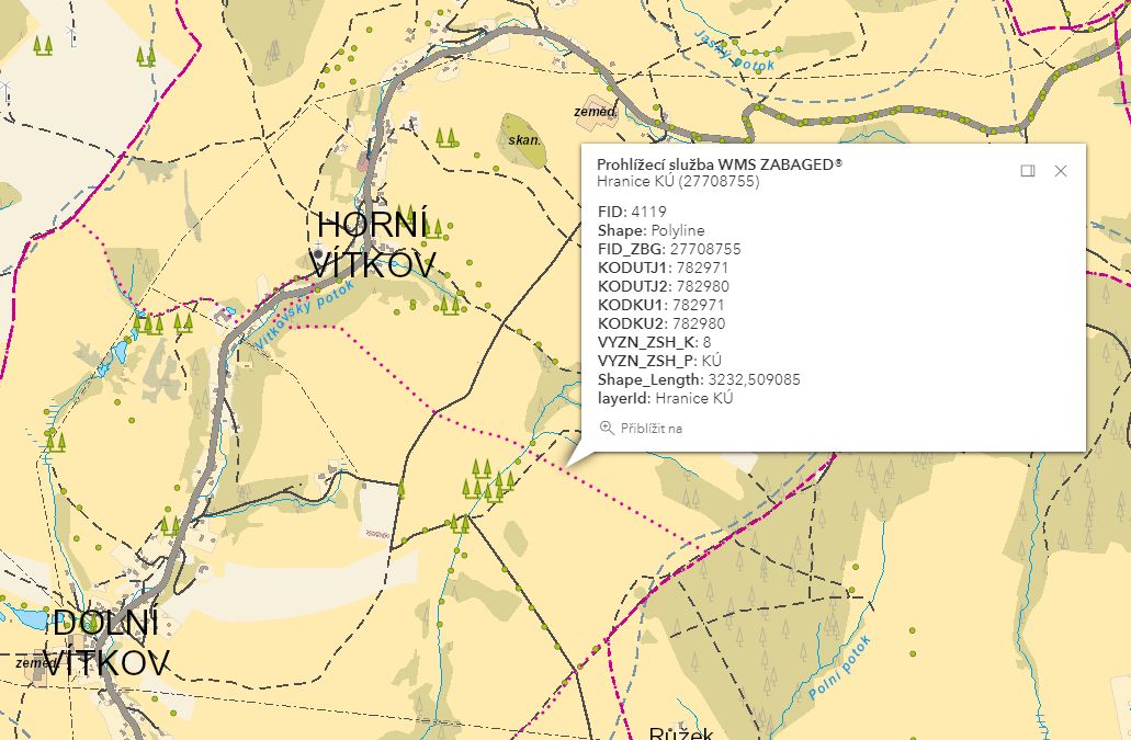
ZABAGED® cartographic representation in the ČÚZK Geoportal – KÚ administrative boundary is represented by violet line (type of line fits to type of administrative boundary); state to 9/2020
F e a t u r e h i s t o r y :
2025-01-01: 0 (unknown) - value canceled in code list C_VYZNAM_ZSH
2016-04-01: KODKU1 - attribute added to the feature
2016-04-01: KODKU2 - attribute added to the feature
Extended web version updated to: 01.07.2026
Contact: Content Guarantor: Petr Neckář (e-mail: Petr.Neckar@cuzk.gov.cz; tel: +420 284 041 667)
Content Filling: Marek.Popp@cuzk.gov.cz |
Technical Solution: Antonin.Baco@cuzk.gov.cz, Petr.Cerveny@cuzk.gov.cz